admin

Dennis “Dan” Lawrence McGann
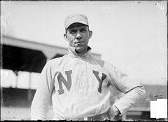
Dennis “Dan” Lawrence McGann 1905 World Series Champion Captain of the New York Giants As is often the case, a tragic death can overshadow one’s life, so we will begin there and work our way backwards. On December 13, 1910, the body of 39-year-old, Dan McGann, was found by the proprietor and a porter in Dennis “Dan” Lawrence McGann

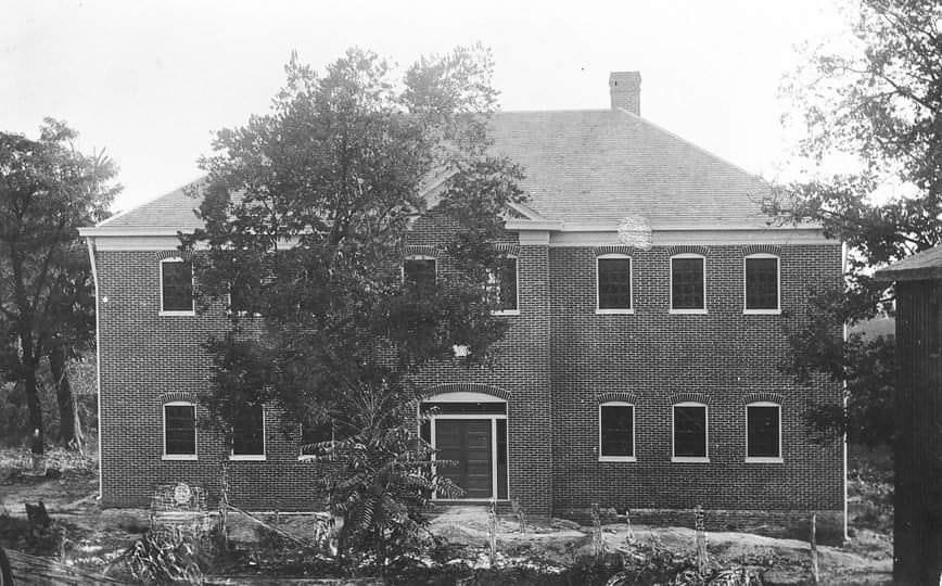
Shelbyville’s Colored Graded School

Shelbyville’s Colored Graded School Shelbyville’s Colored Graded School was the only primary school for African American children in the city. This building was erected in 1909 and located on the south side of Bradshaw Street between 5th and 6th Streets. It was destroyed by fire in 1945.

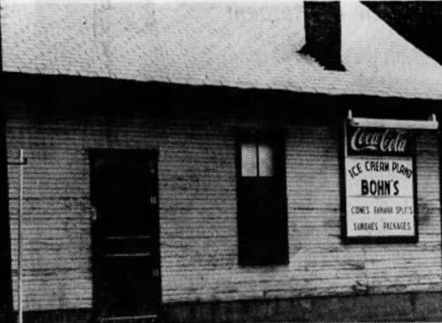
Bohn’s Ice Cream Plant

Bohn’s Ice Cream Plant Paul Bohn owned and operated Bohn’s Ice Cream Plant for over forty years. He inherited it from his father, Frank Bohn, who started the business as the Shelby Ice Cream Company in 1916 and built the store at the corner of 2nd and Washington. Some of Bohn’s homemade flavors included Tutti Bohn’s Ice Cream Plant

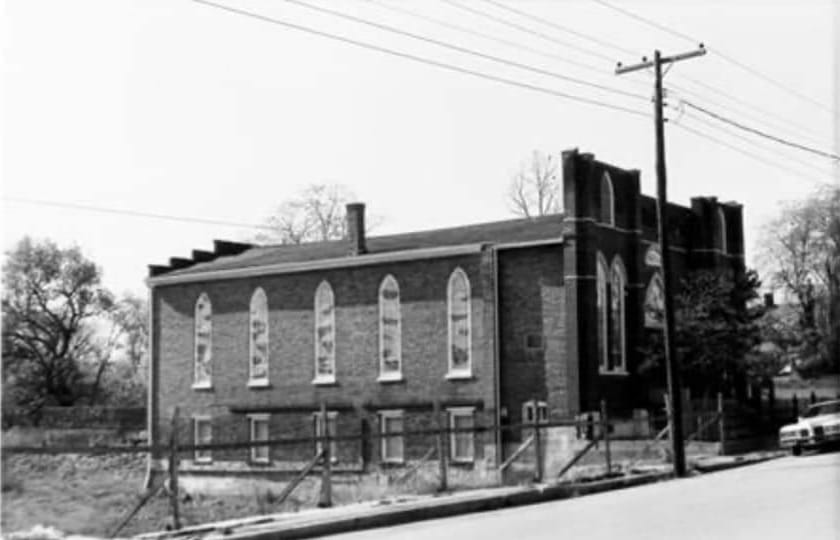
Bethel A.M.E. Church

Bethel A.M.E. Church In 1867, Bethel African Methodist Episcopal Church purchased the “Stray Pen Lots”, lots number 54 and 55 on Henry Clay Street for $150. The first church on the site was built in 1868, with the present, Gothic-influenced building reconstructed in 1916, reusing bricks from the first church.  It was added to the Bethel A.M.E. Church

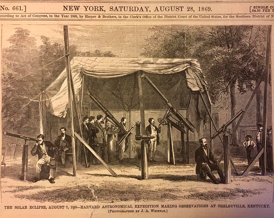
1869 Solar Eclipse

1869 Solar Eclipse In 1869, Shelbyville was the place to be. Our town was considered the premier viewing area along the path from Alaska to North Carolina. Various railways offered special round trip tickets for around $3.00 each, labeling the route as an “Excursion to the Sun”. Vendors came from miles away to sell their 1869 Solar Eclipse

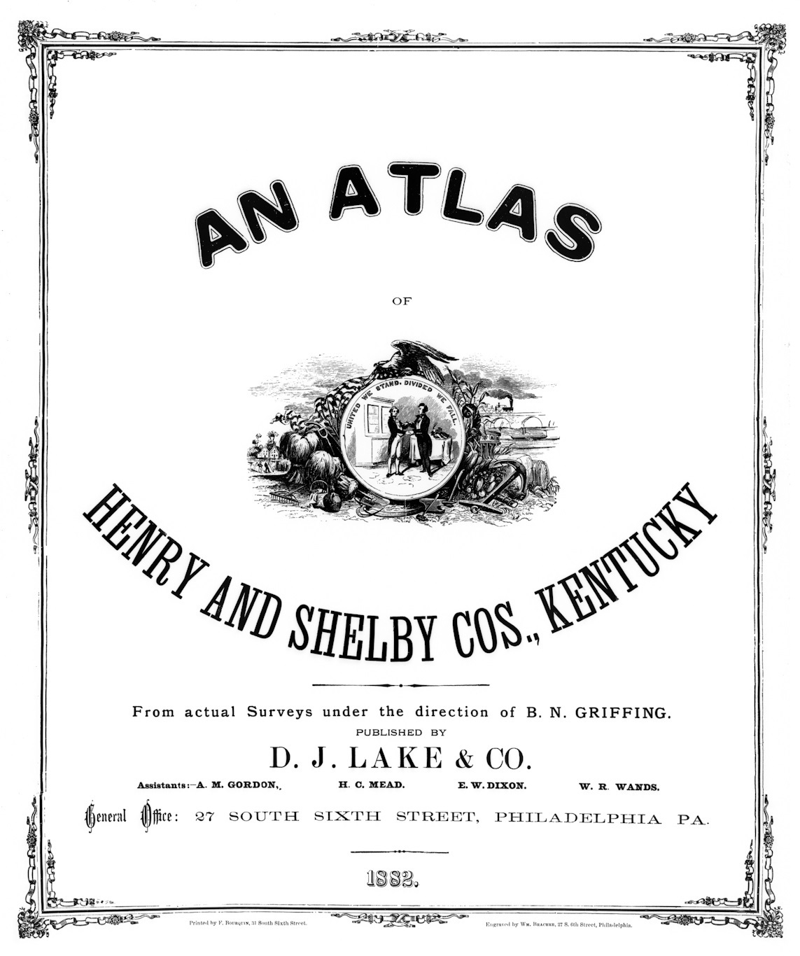
An Atlas of Henry & Shelby Counties (1882)

An Atlas of Henry & Shelby Counties (1882) Get a glimpse of Henry and Shelby Counties in this 1882 historical atlas. Great source for genealogical research to locate ancestral property. Courtesy of the Shelby County Historical Society

Shelby County Soil Map (1920)

Shelby County Soil Map (1920) Soil maps from the early 20th century such as this one were primarily created for agricultural purposes and were easy to read and understand. They often used descriptive terms readers could understand. Courtesy of Charles Long and Kerry Magan.

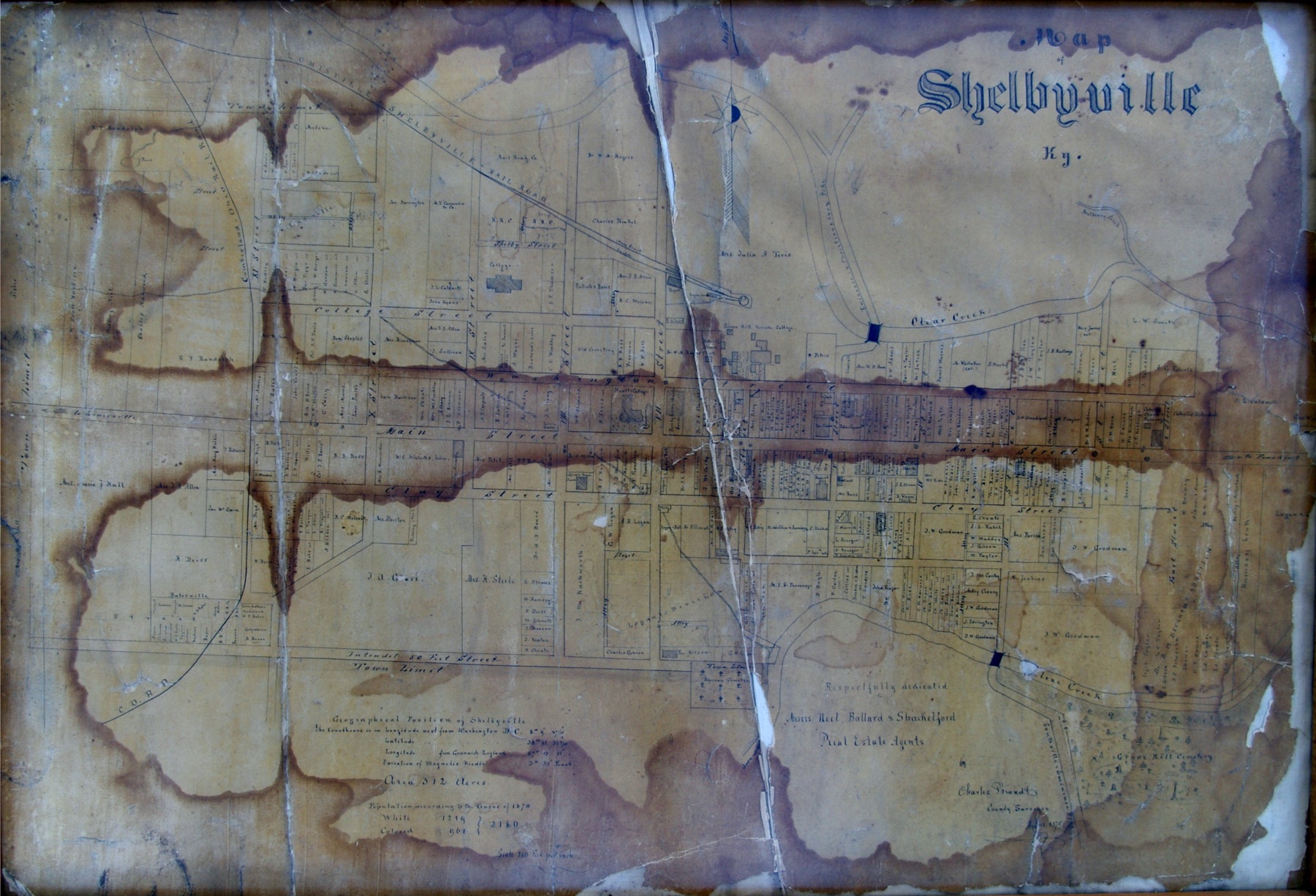
Map of Shelbyville KY (1875)

Map of Shelbyville KY (1875) This is a hand-drawn map dating to April 1875 used by Neal, Ballard, and Shackleford, real estate agents. Courtesy of Duanne Puckett

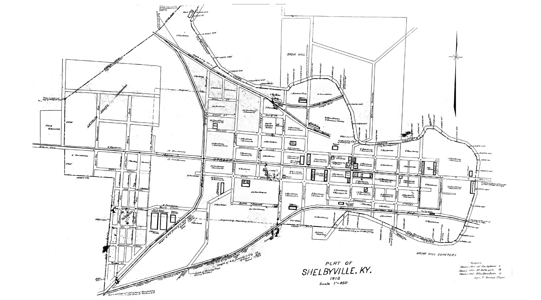
Plat of Shelbyville KY (1912)

Plat of Shelbyville KY (1912) A view of Shelbyville in 1912, denoting businesses and residences. Courtesy of the Don Cubert family.