Original Land Surveys’ map
Original Land Surveys’ map created by Neal O. Hammon.
Original Land Surveys’ map created by Neal O. Hammon.
An Atlas of Henry & Shelby Counties (1882) Get a glimpse of Henry and Shelby Counties in this 1882 historical atlas. Great source for genealogical research to locate ancestral property. Courtesy of the Shelby County Historical Society
Shelby County Soil Map (1920) Soil maps from the early 20th century such as this one were primarily created for agricultural purposes and were easy to read and understand. They often used descriptive terms readers could understand. Courtesy of Charles Long and Kerry Magan.
Map of Shelbyville KY (1875) This is a hand-drawn map dating to April 1875 used by Neal, Ballard, and Shackleford, real estate agents. Courtesy of Duanne Puckett
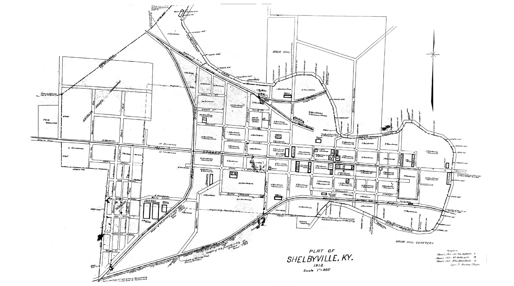
Plat of Shelbyville KY (1912) A view of Shelbyville in 1912, denoting businesses and residences. Courtesy of the Don Cubert family.
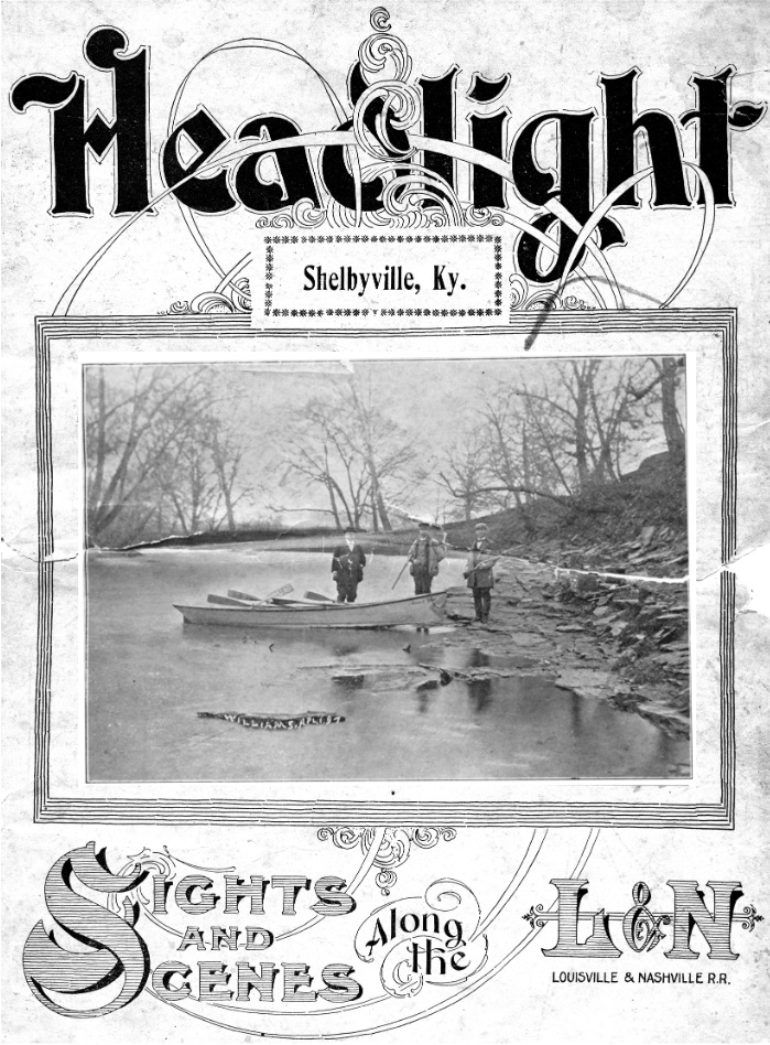
The Headlight – L&N Railroad (1899) A 30-page publication showcasing Shelbyville in 1899. Envision the sights and sounds along the L& N Railroad in this periodical devoted to the interest of railroads and railroad centers.